


I’m on my third round of the “Wainwrights”, the 214 Lake District summits described by the hillwalker and writer Alfred Wainwright in his classic Pictorial Guides to the Lakeland Fells. During my first round, I created these seven ridge maps, showing the connections (and distances) between each summit along with other useful information.
Over the years I have found them a really helpful route planning tool. And as my eleven-year-old son works on his first round, we’ve found another way to use them—colouring in each peak as he climbs it!
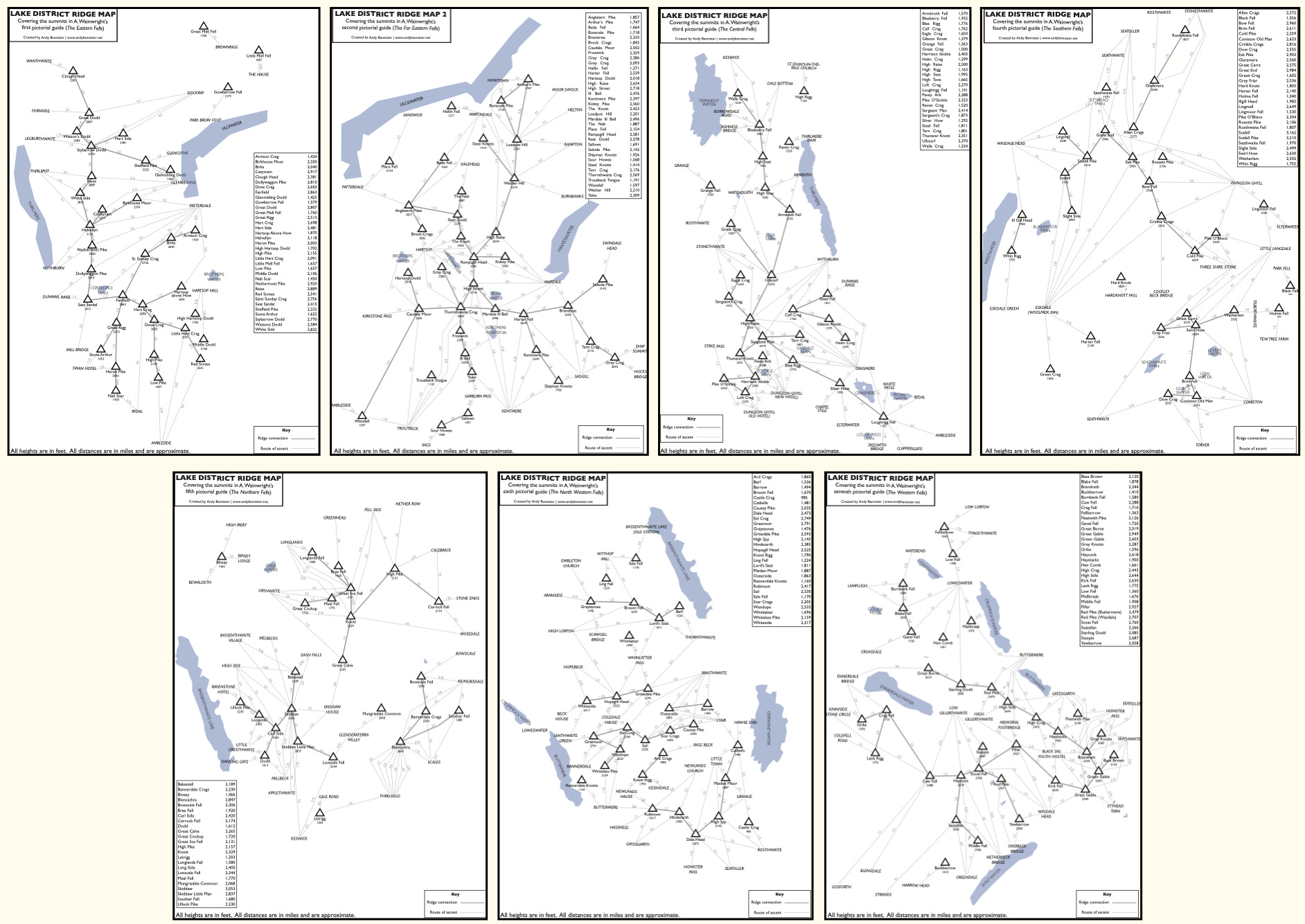
Anyway, I share them here as A4 sized PDFs in case they’re helpful to fellow hillwalkers!
Download them as PDF’s using the links below to my Dropbox (one PDF for each of Wainwright’s seven books):